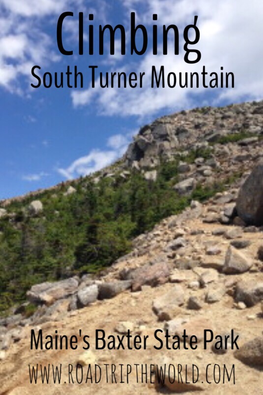
Sandy Stream Pond and South Turner Mountain Trails in Baxter State Park, Maine
Total Miles: 3.8
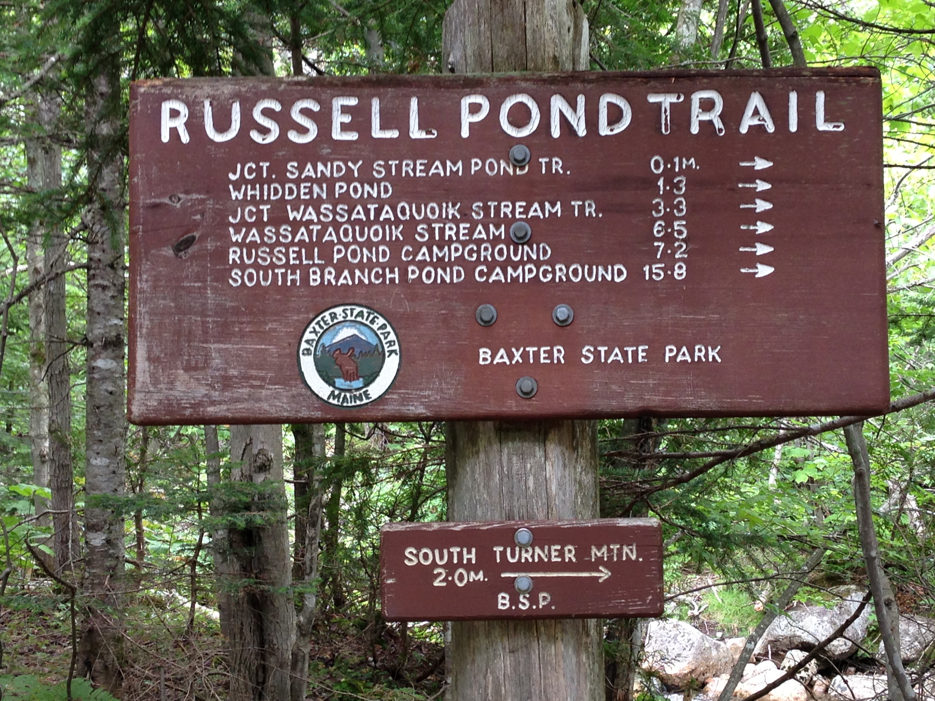
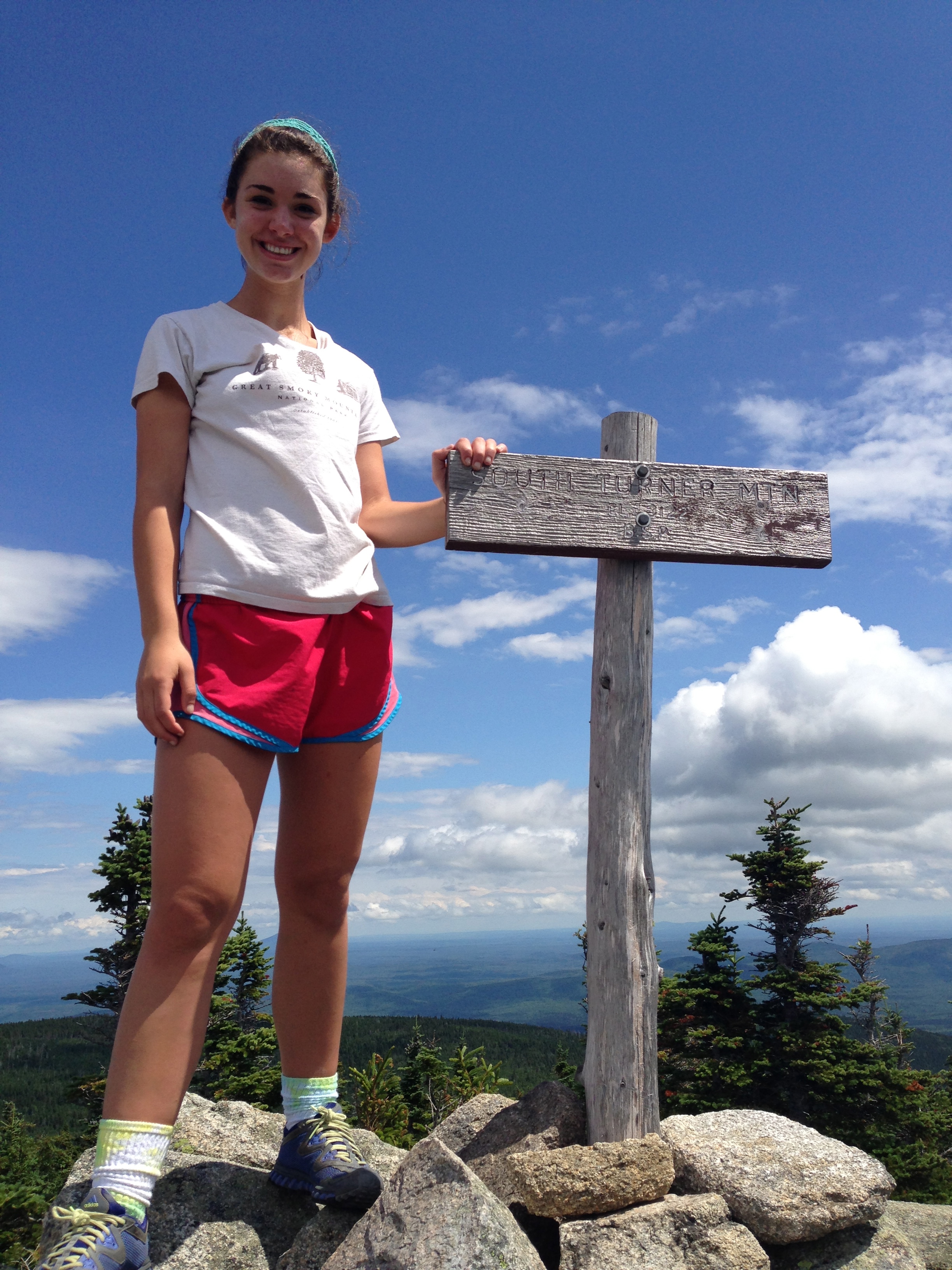
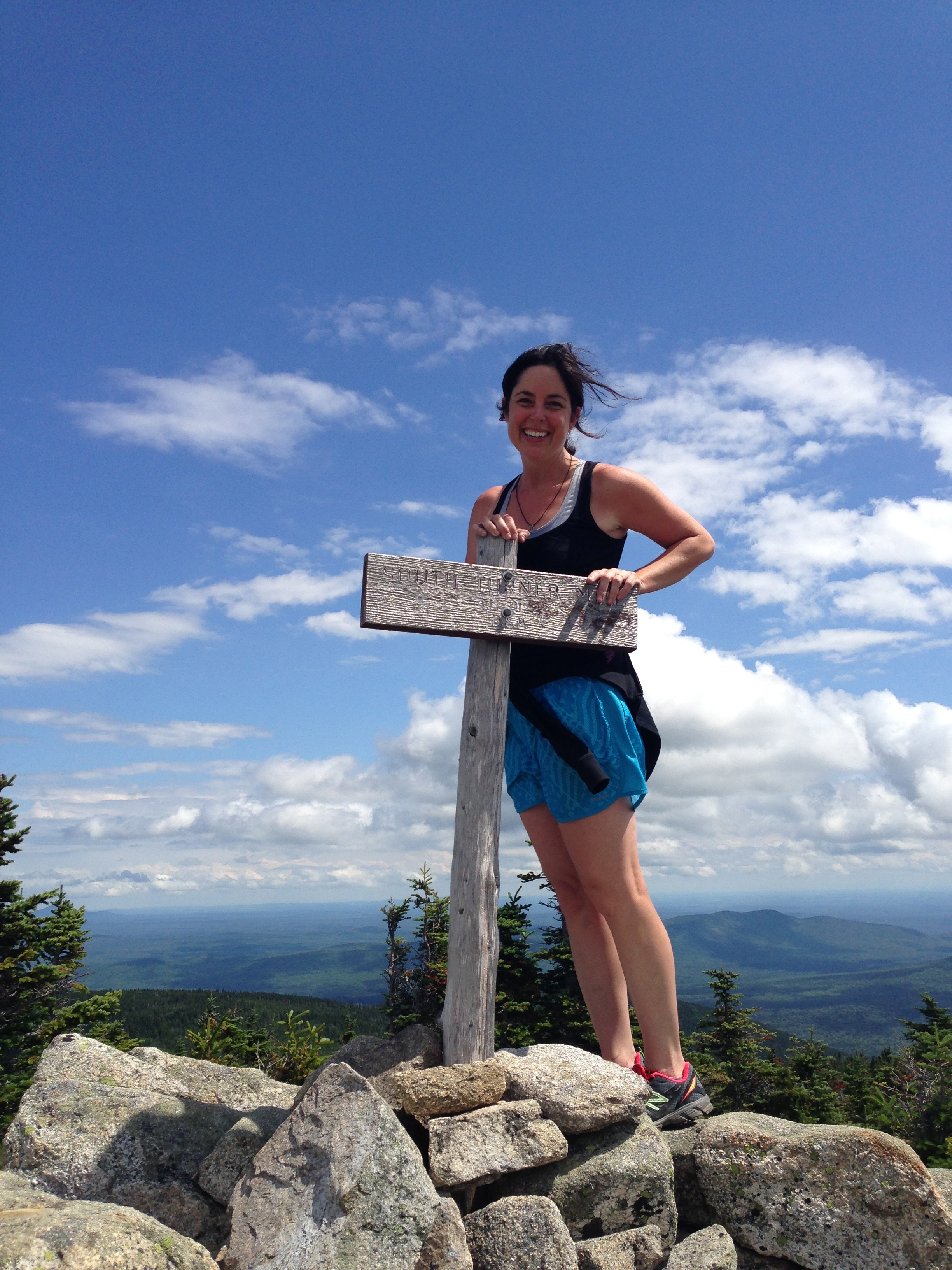
Trails: Sandy Stream Pond Trail (0.6 miles) to South Turner Mountain Trail (1.5 miles one way with elevation gain of 1622 feet) to outer loop of Sandy Stream Pond Trail (1.7 miles) back to Roaring Brook Campground. See the map here.
Elevation Gain: 1,622 feet
Date: July, 2013
Trail Head: Roaring Brook Campground
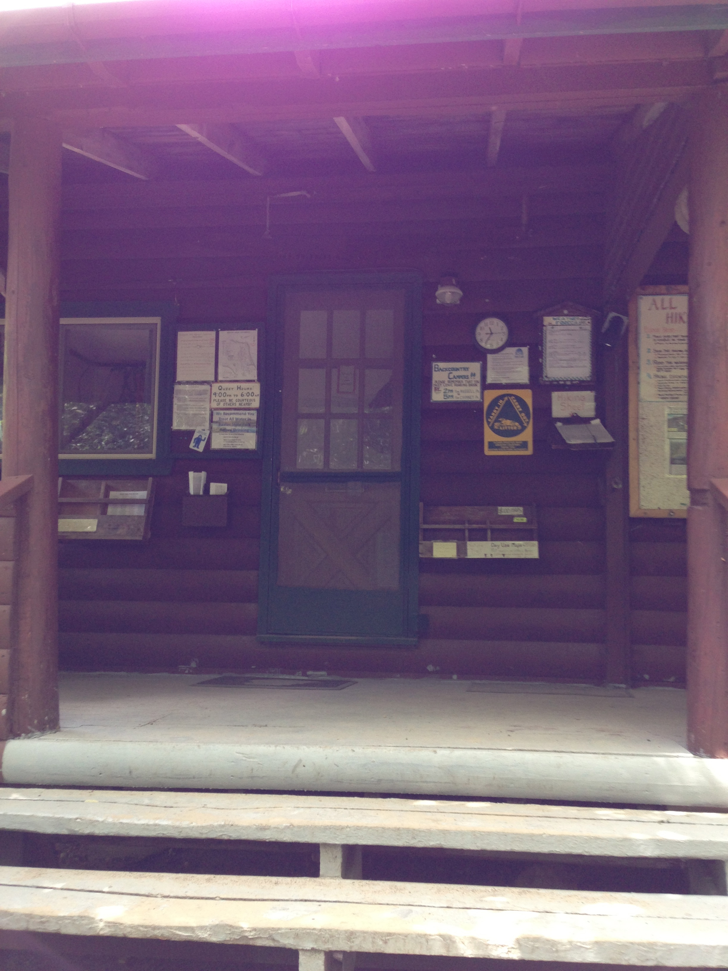
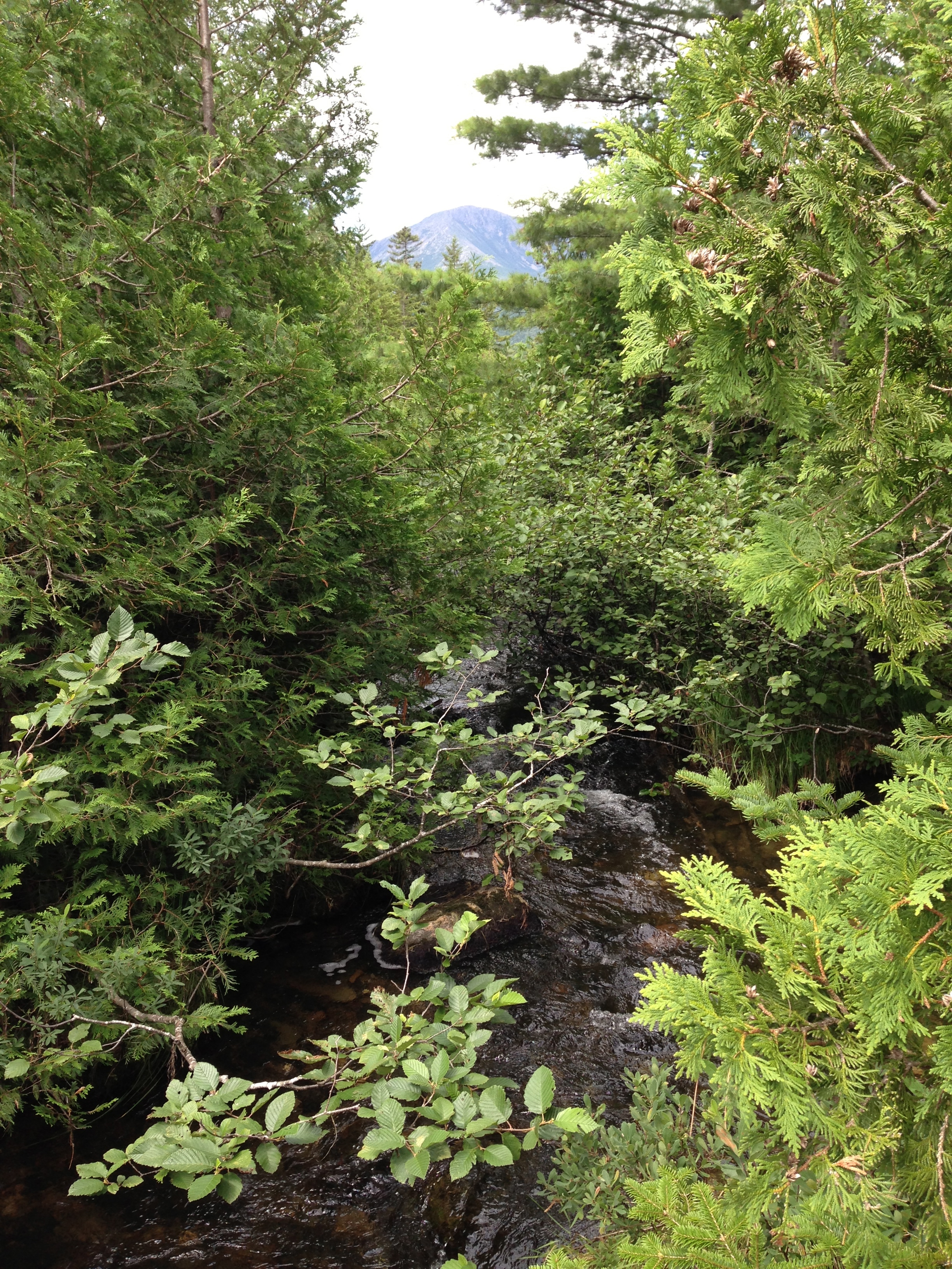
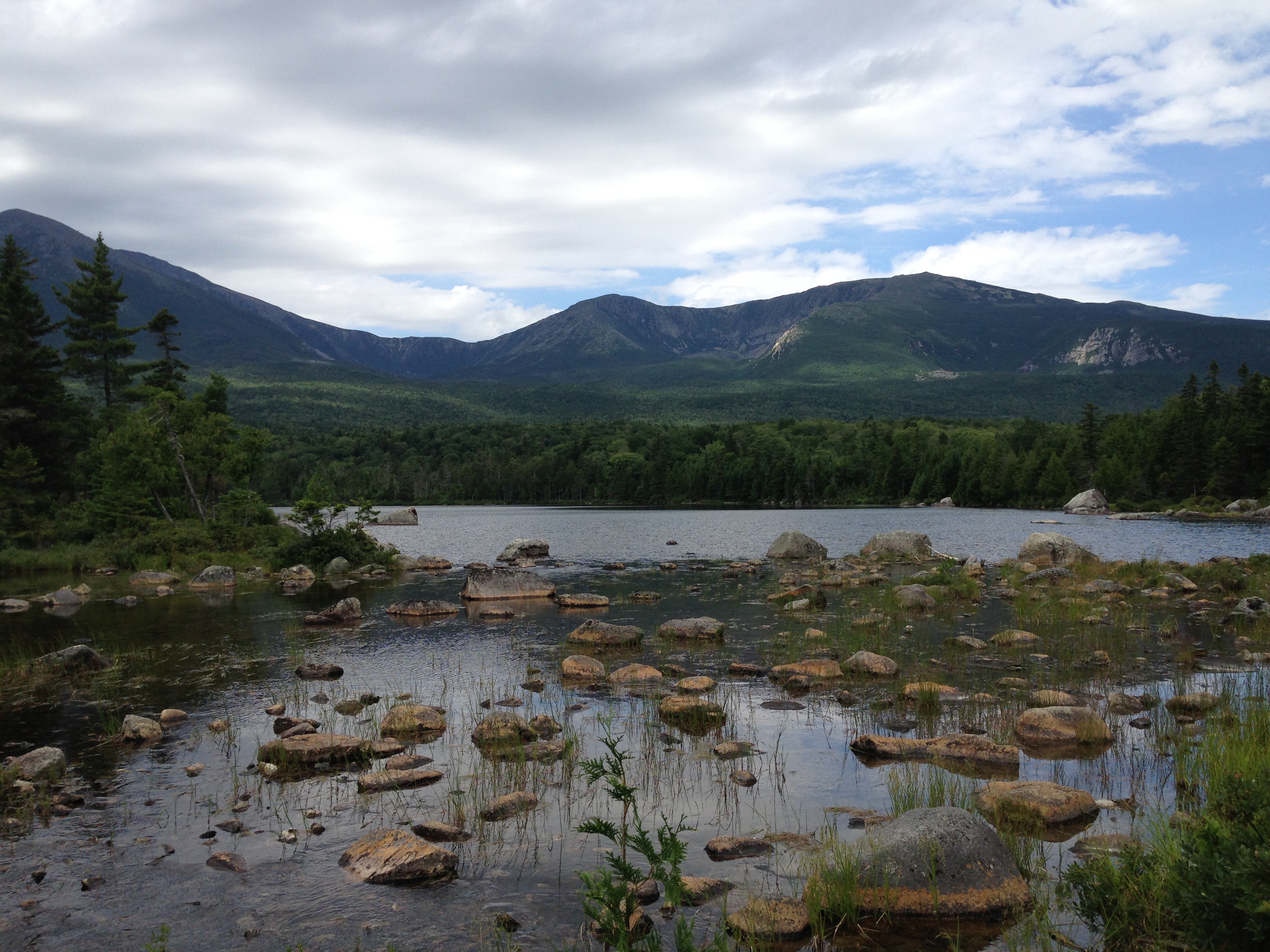
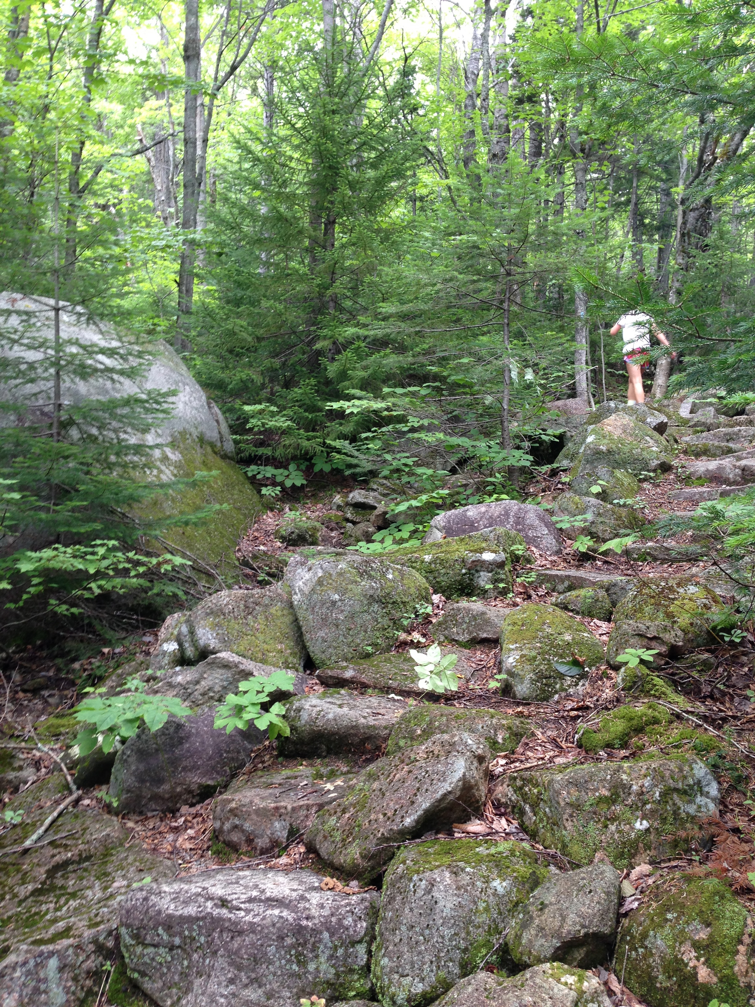
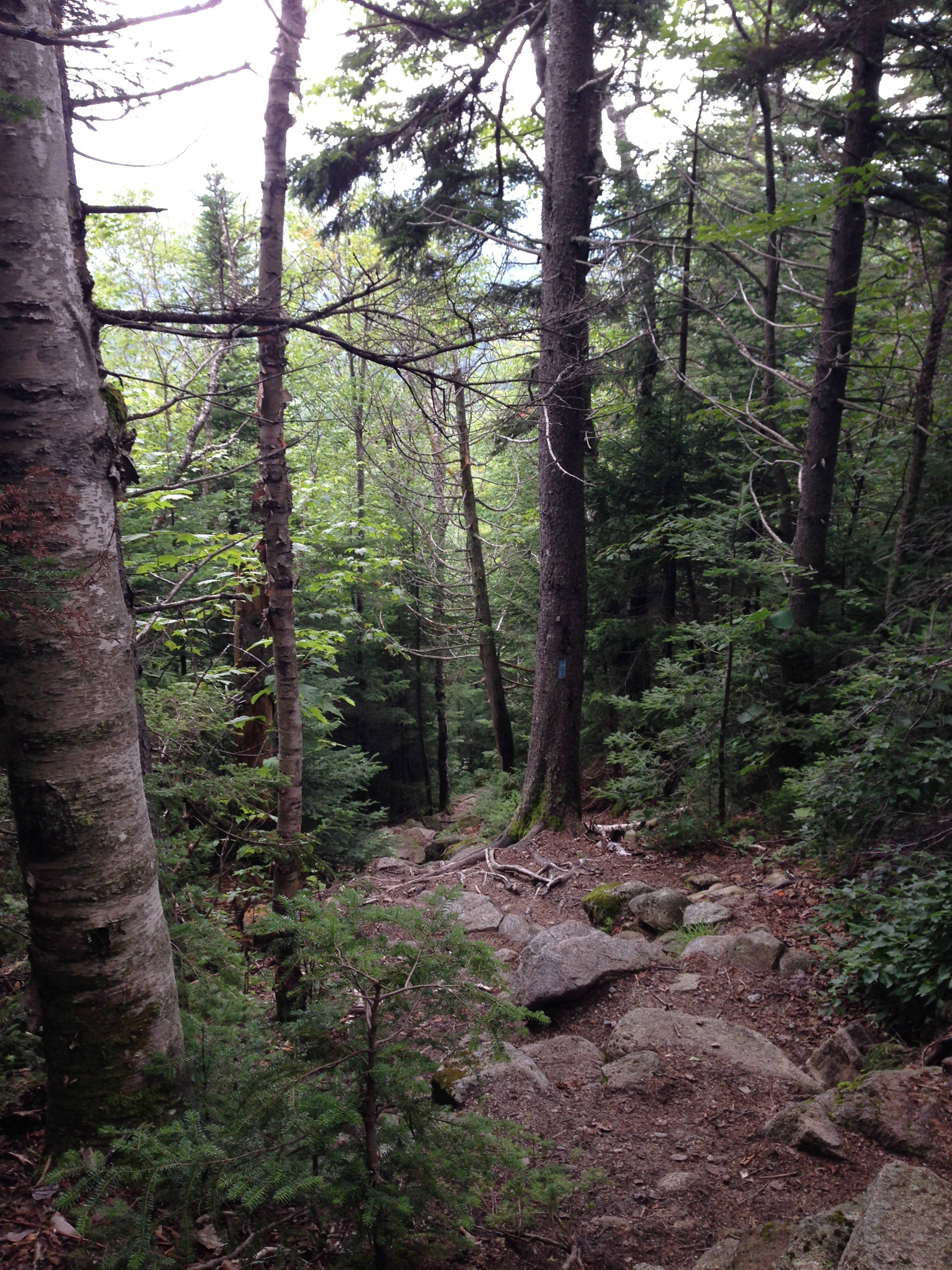
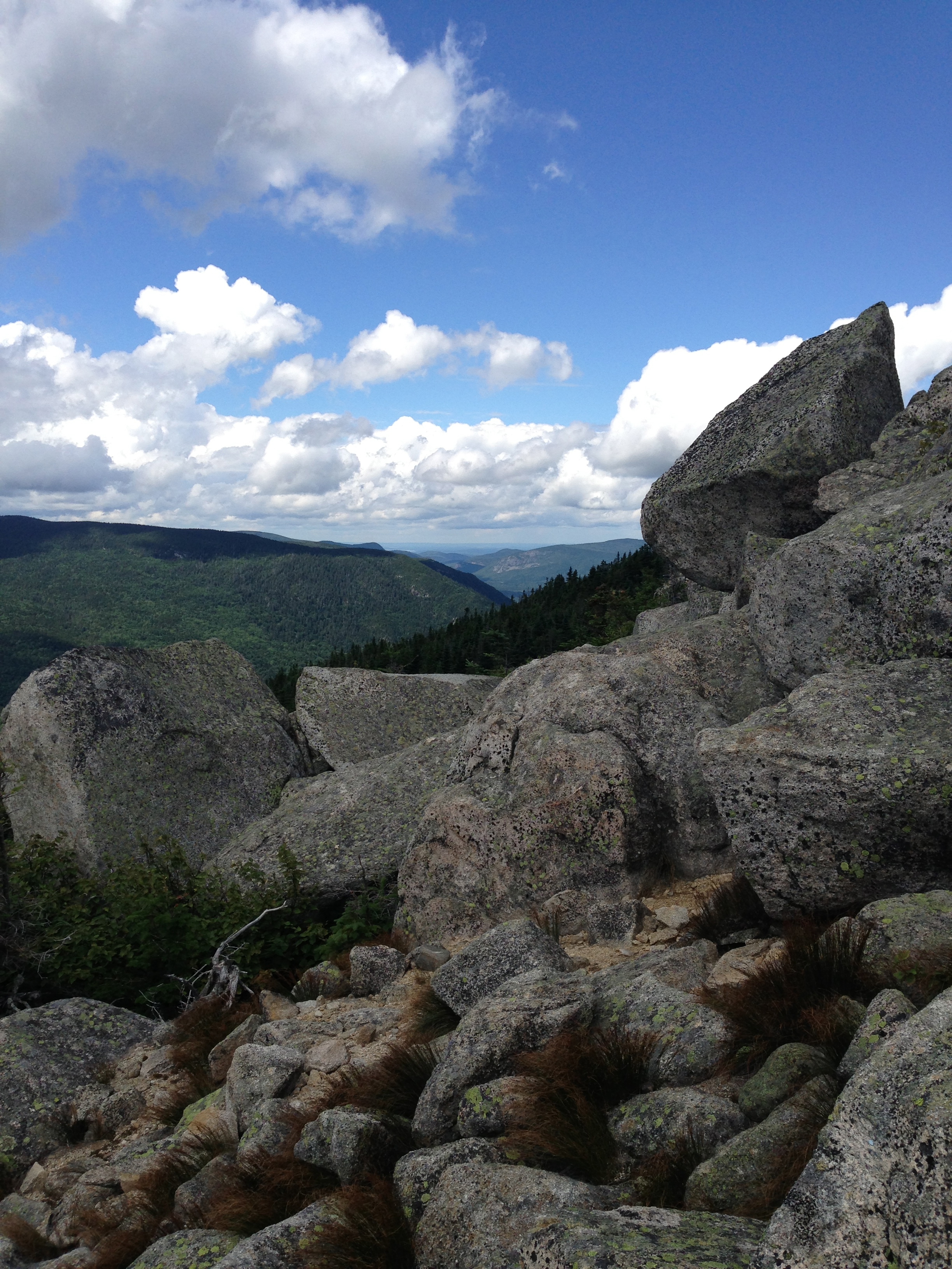
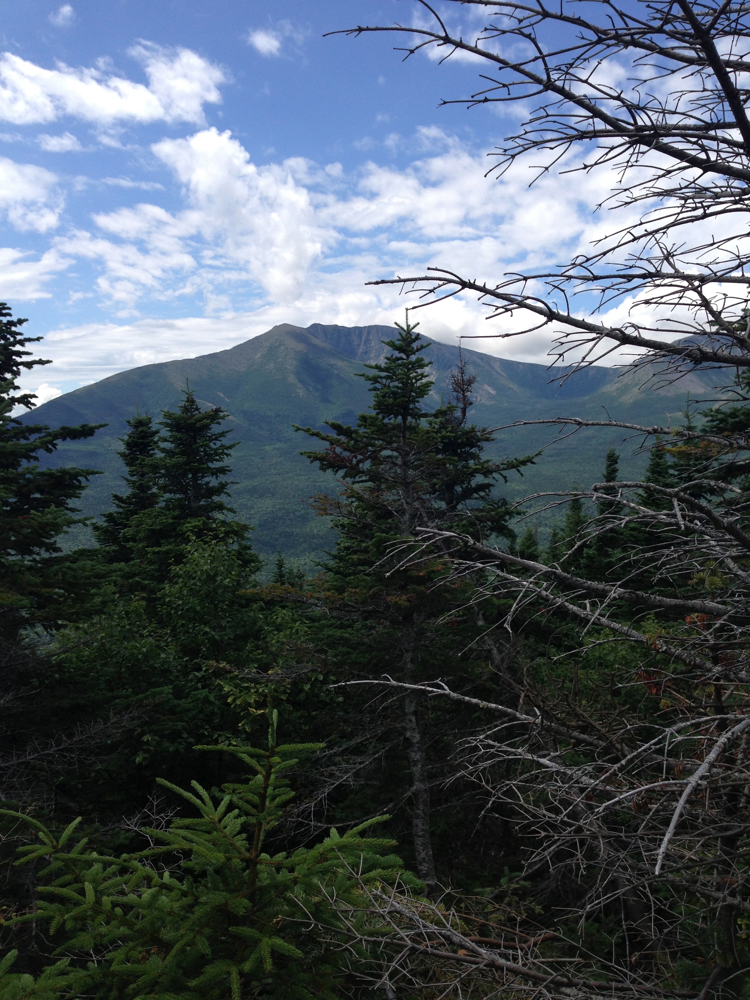
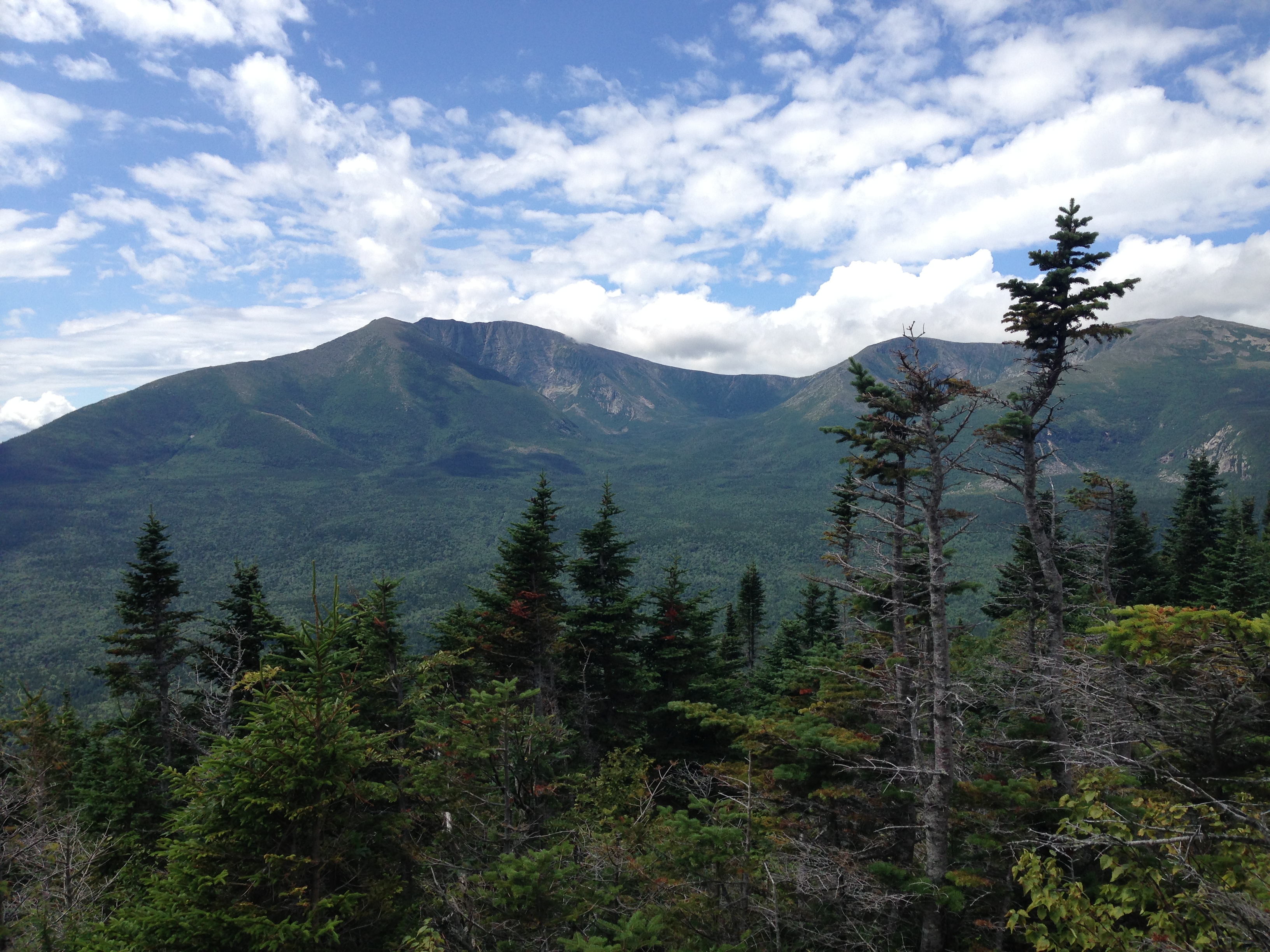
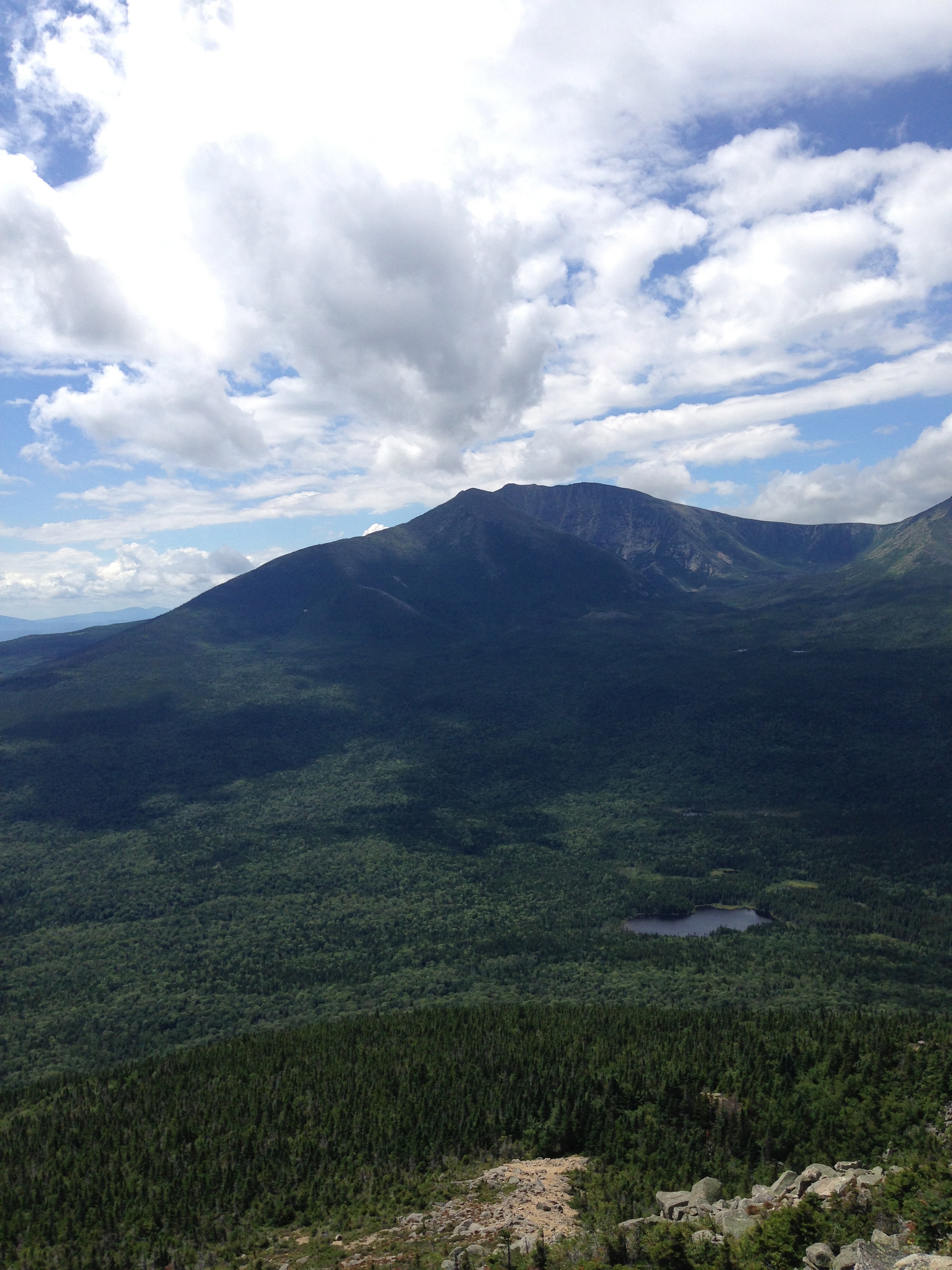
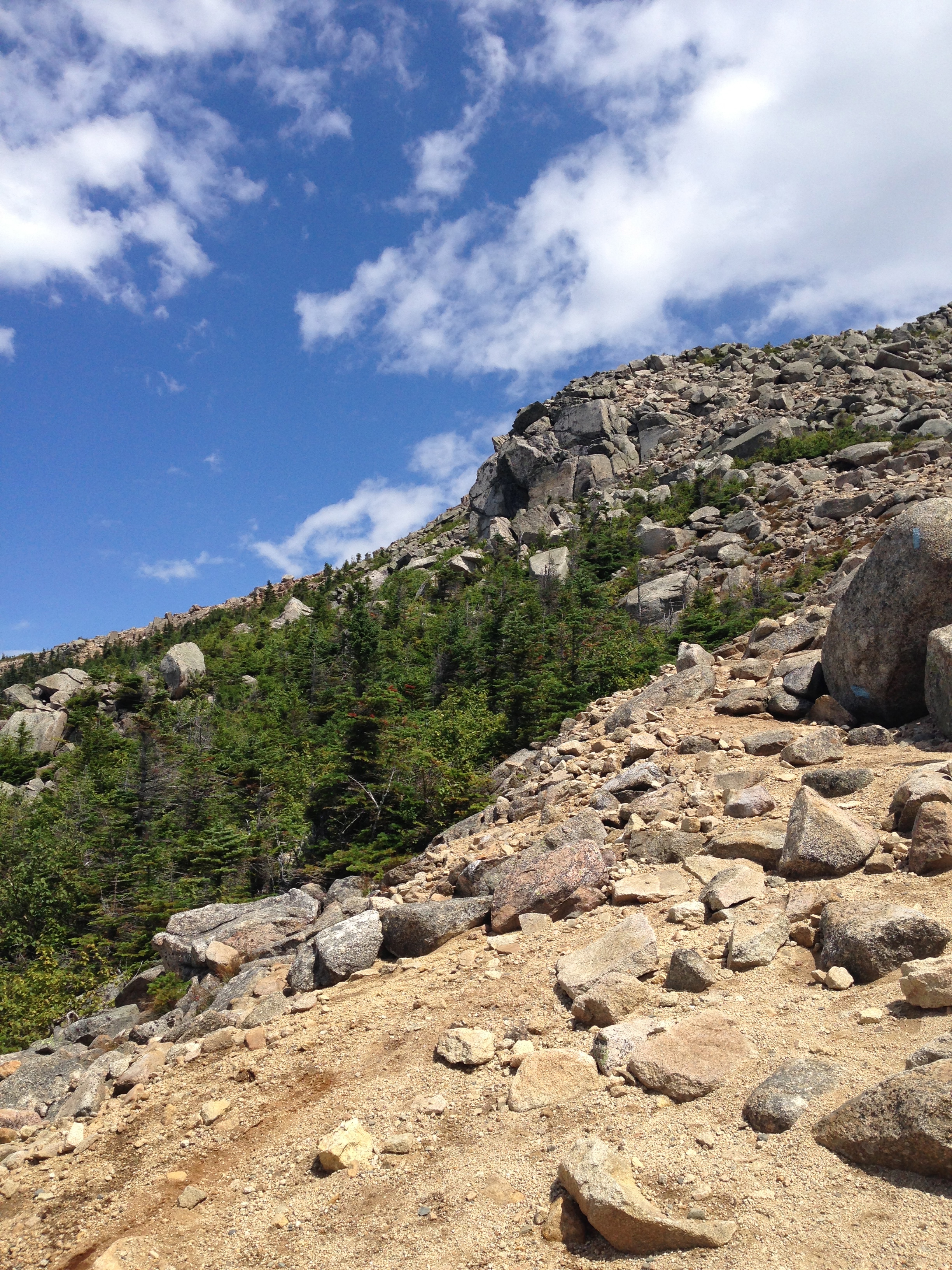
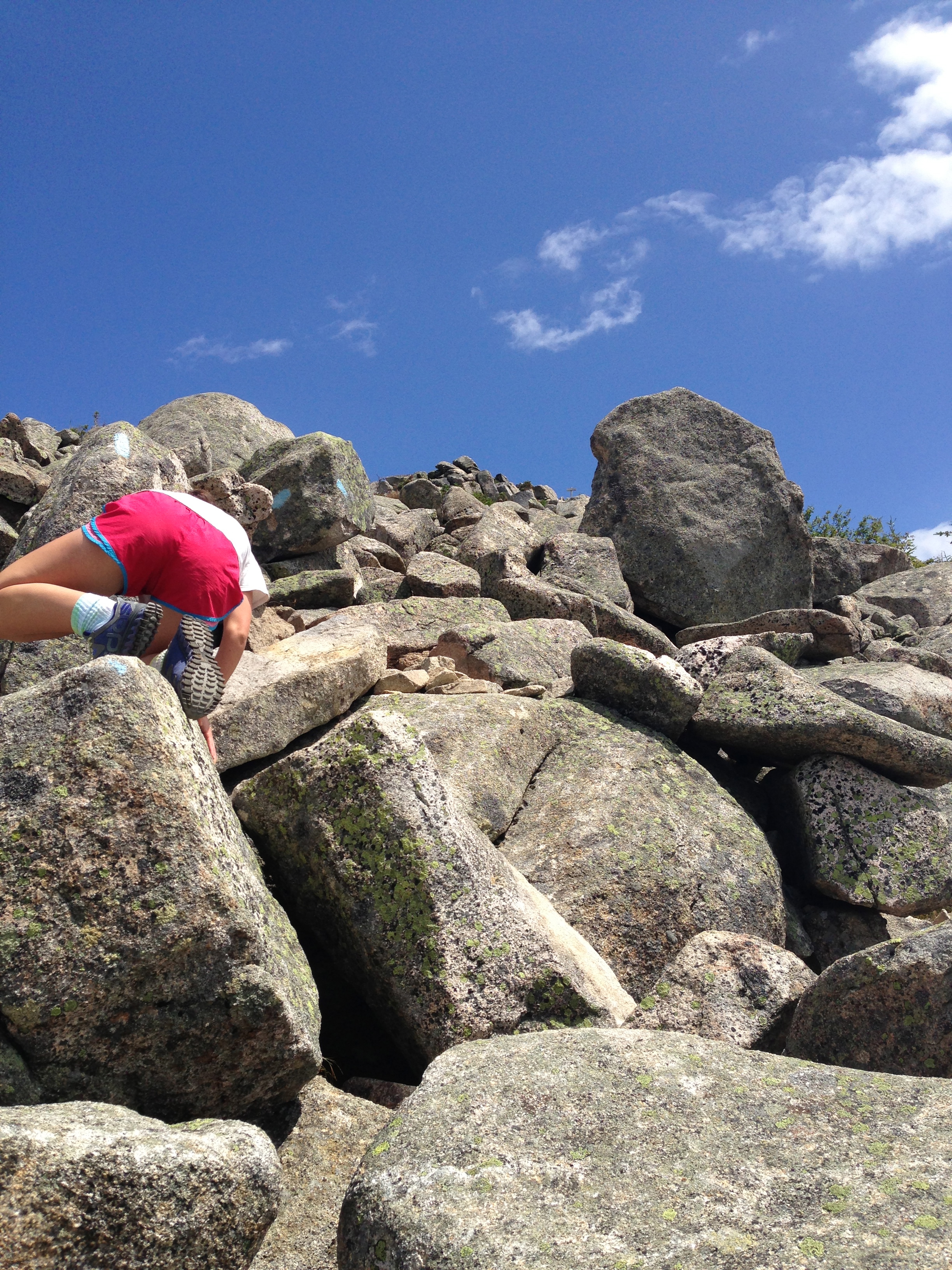
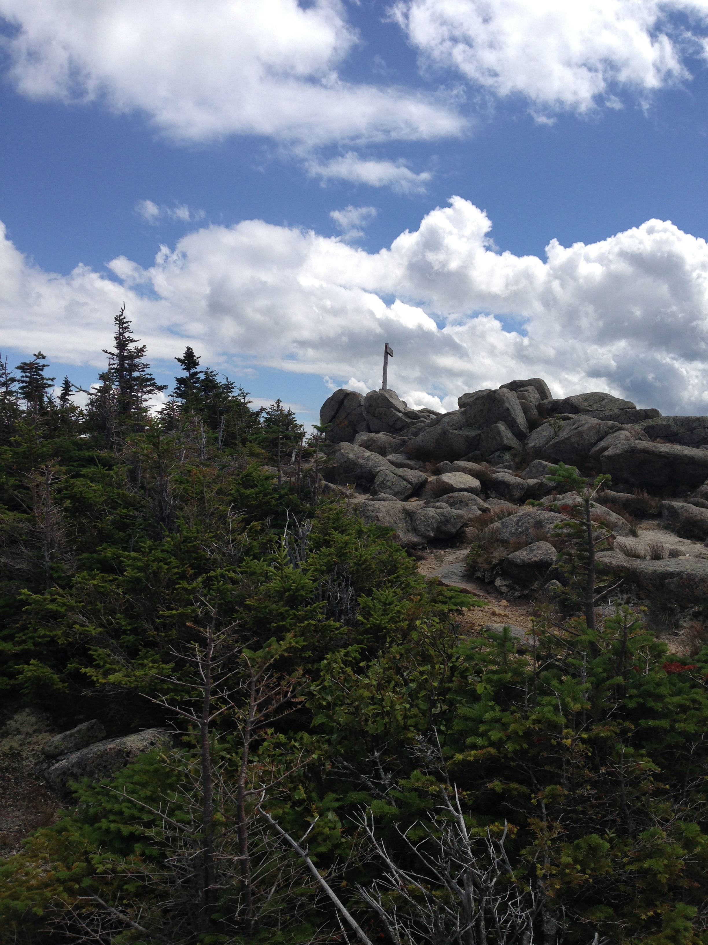
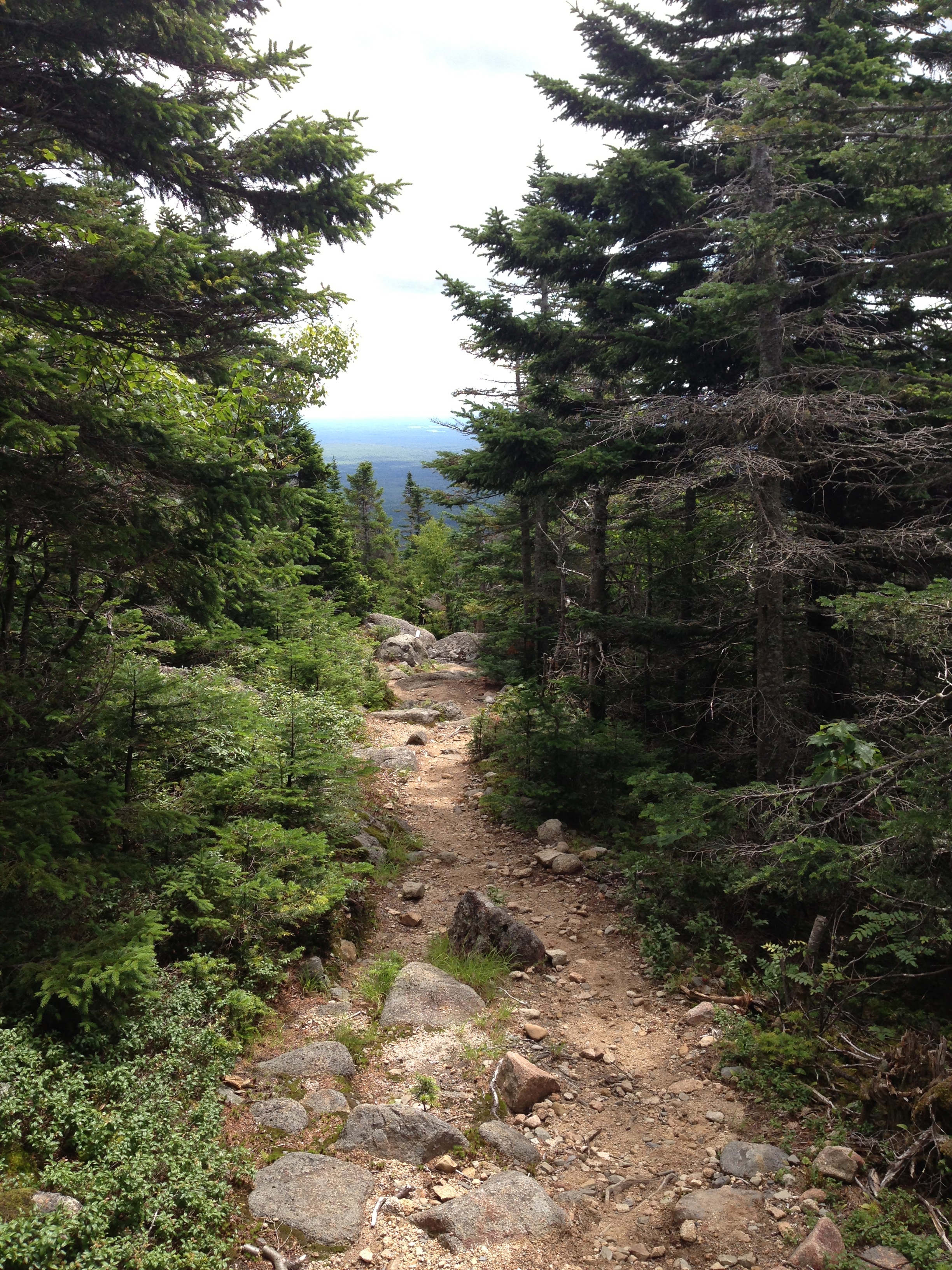
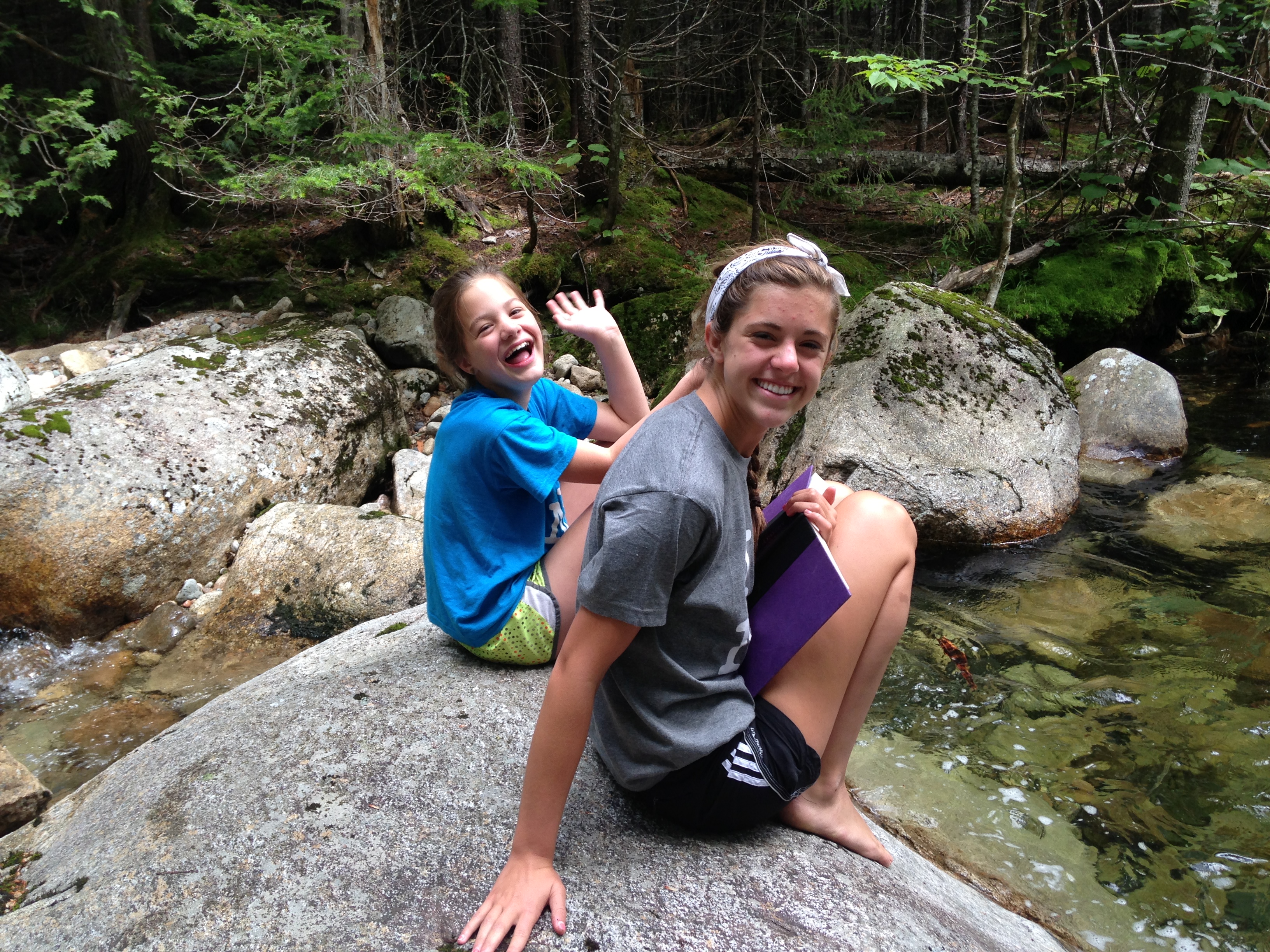
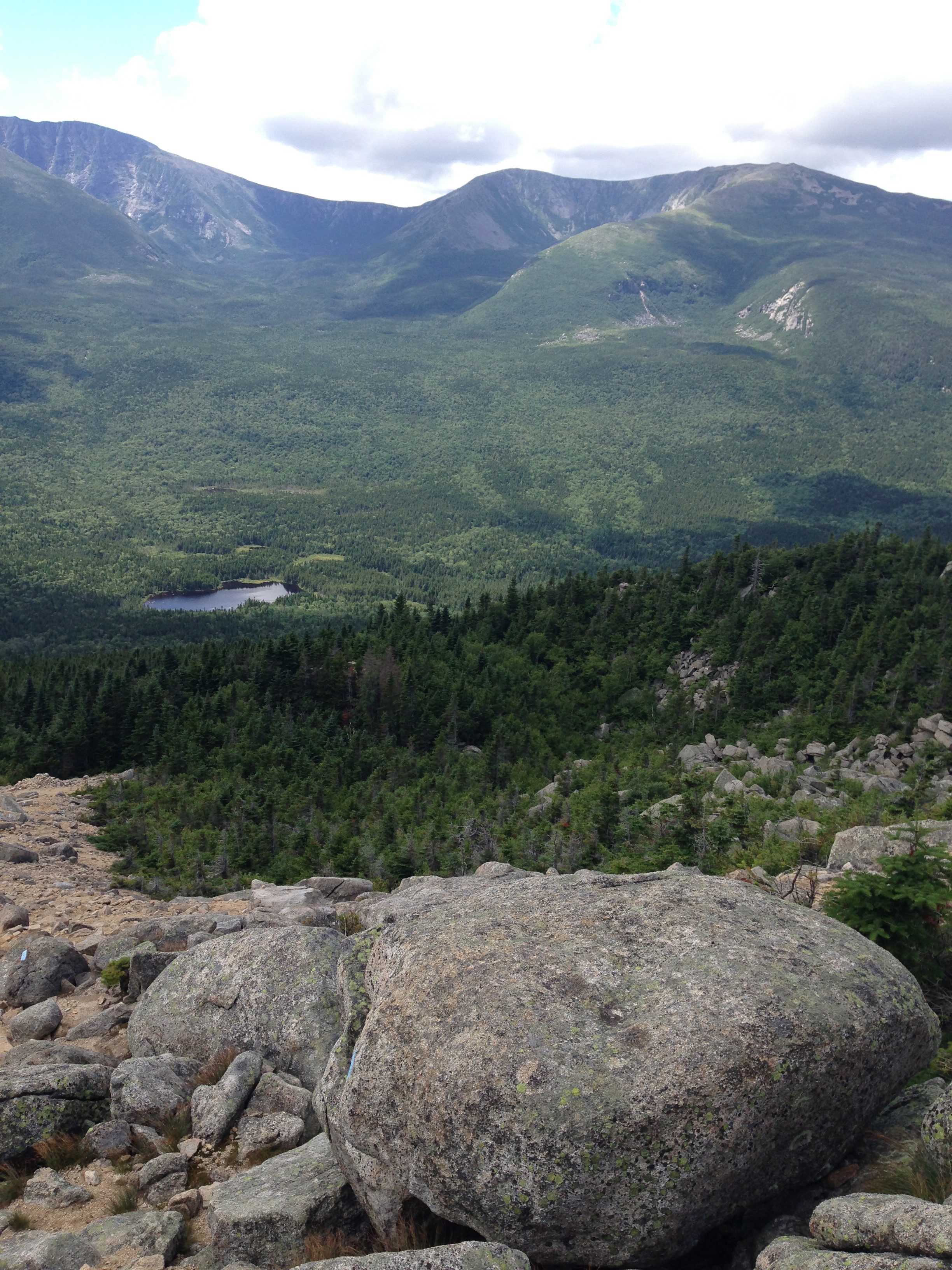
We were fortunate to have a couple of days of downtime while in Baxter State Park before our Katahdin summit hike. Leaving Dave with the other kids to relax, read books and play in Roaring Brook, Sophie and I spent a wonderful afternoon climbing South Turner Mountain. Before setting off, hikers must first register at the campground Ranger Station before heading down the trail. All in all it is a fantastic hike- the trails are uncrowded and beautiful and the views at the summit were awesome. Parts of it were somewhat strenuous with large boulders to climb over and a few steeper inclines, but it was a moderate hike for the most part with a short rock scramble just before the summit. It took us about 3 hours to hike to the top and back which included time for a relaxing lunch at the summit to enjoy the view. Climbing South Turner Mountain was so much fun.
Climbing South Turner Mountain: If you go:
–There is no running water on this trail (or in the park for that matter.) Water is available from the Roaring Brook stream or from Sandy Stream Pond but must first be treated. Since we have a large family, we used a Katadyn Base Camp Water Filter at our campsite to treat spring water while we camped in Baxter. I cannot say enough how much I love this thing! It filters our water quickly with practically no effort. Since it is heavy (11 ounces) for use when backpacking or on long hikes, we sometimes prefer to use our SteriPEN Adventurer Opti Handheld UV Water Purifier
to treat water. Still easy to use, you can only treat 1 L at a time, but at only 3.6 ounces it is a weight saver. Both are easy and effective ways to treat water in the back country so take your pick!
–Wear a small pack for your map, snacks, water and whatever else you bring. You want your hands free during the boulder climbs and rock scramble!
–We took along AMC Map: Baxter State Park – Katahdin and 100-Mile Wilderness which was helpful at forks in the trails.